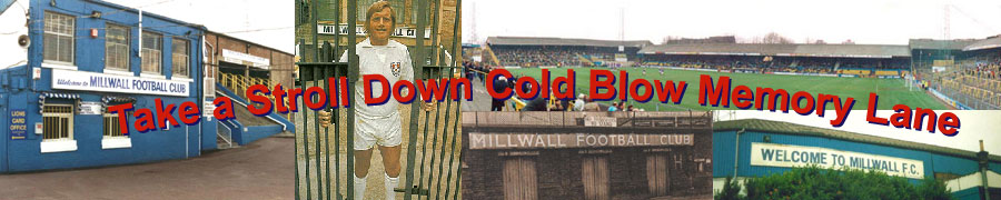
Aerial Shot of the Old Den / Ilderton Road Entrance

Aerial Photo of The Den 1993.

Aerial Photo of The Den 1993.

Aerial Photo After Demolition

Millwall FC Diagram layout of The Den <

1The Den April 1969 from Tunstin Estate Tower Block

The Den and New Cross Stadium April 1969 from Tunstin Estate Tower Block colourised

Long Distance View of The Den from Hawke Tower New Cross

Bridgehouse Meadows, site of Old New Cross Stadium

Railway between The Den and New Cross Stadium

Railway between The Den and New Cross Stadiumn

Abandoned Railway Bridge into Universal Glass Site

Steps upto Away Enclosure

Steps upto Away Enclosure

Views of the Canterbury Road End  (later named Ilderton Road) from Jews Hill

View of Canterbury End renamed Ilderton Road End

View of Canterbury End renamed Ilderton Road End

View of Canterbury End renamed Ilderton Road End

View of Canterbury End renamed Ilderton Road End

Entrance to Seats from Executive Car Park

View along old Railway line

The Car Park along the old Railway embankment

The Car Park along the old Railway embankment

View from Jews Hill of Car Park

The Den seen from the site of the demoilished New Cross Stadium early 90s

The Den seen from the site of the demoilished New Cross Stadium early 90s

Next: Cold Blow Lane the Scenic Part of Town
  The Millwall History Files    The Millwall Story since the early 1980's         [Home]  [Contents]  [Links]   [Search]